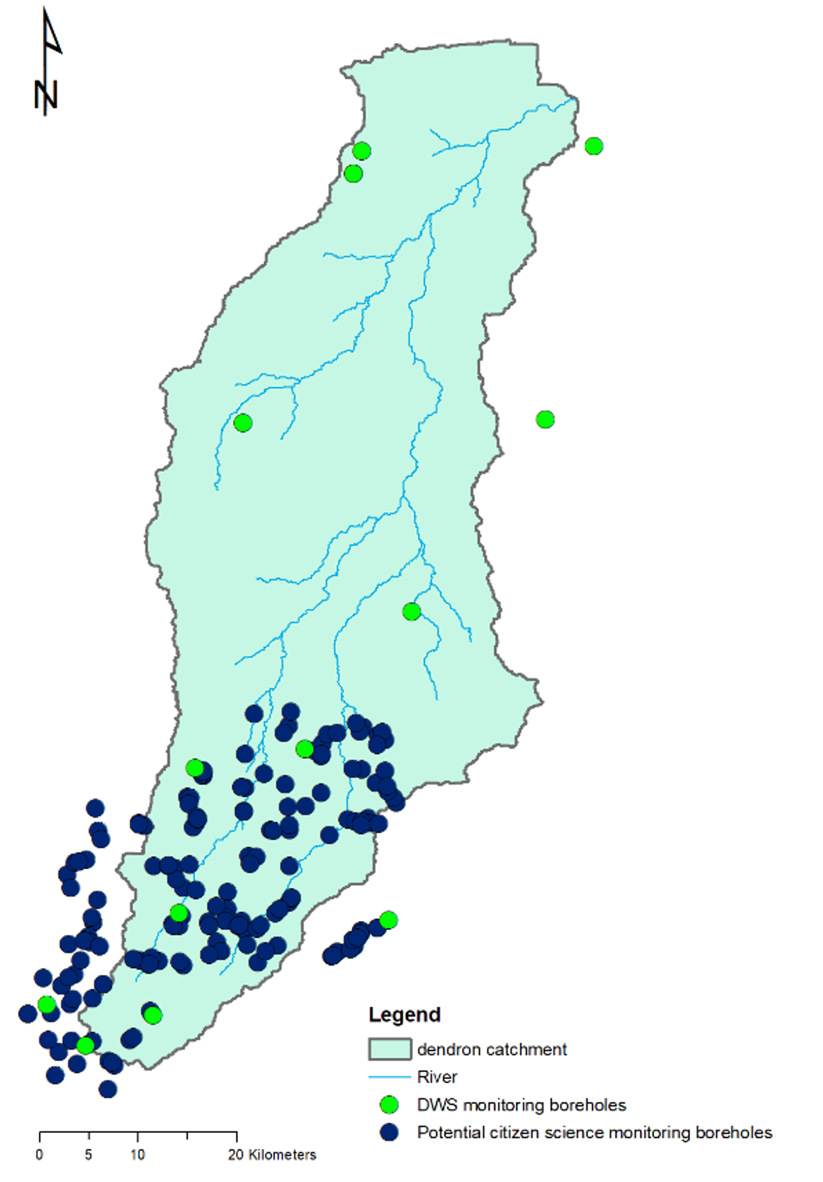
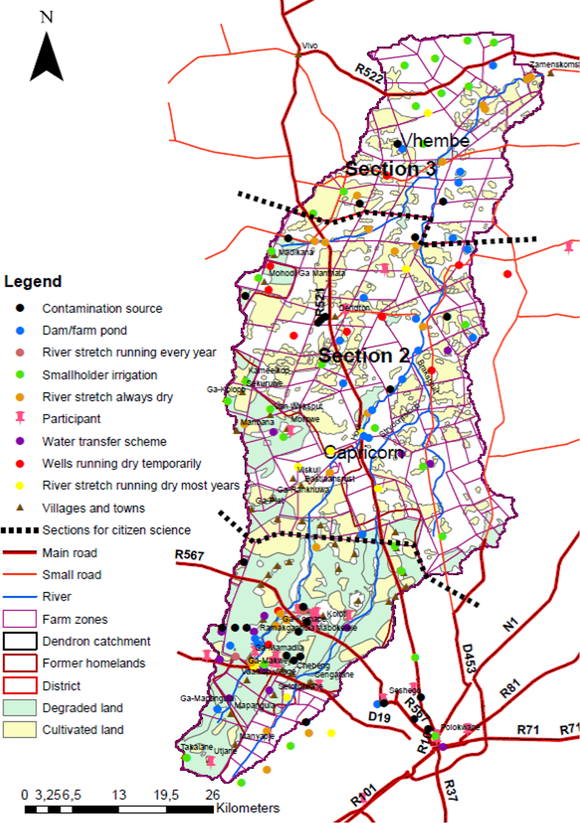
Participatory mapping provides a space for individuals to share their expertise around groundwater concerns. The exercise is interactive - with participants being invited to show where there are wells and to identify particular features.
These two maps were plotted by citizens who live close to the wells in the Hout Catchment, Limpopo and who become scientists, transmitting data on groundwater that is really valuable, reliable data, is trustworthy and has integrity.

The second map was plotted by local stakeholders and shows water features in the Hout Catchment such as contamination points, rivers that are flowing, dry beds etc.
