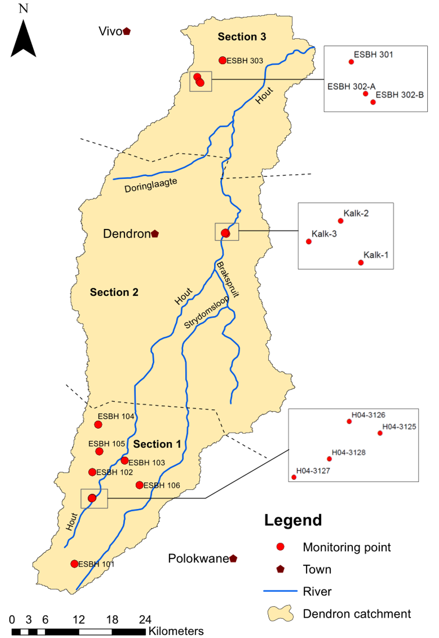
The Hout Catchment, which is where the project is located, was divided into three segments.
See map below.

Segments one and three are where small scale black farmers are farming the land – often with no more than 10 hectares of land each. Section two is occupied by commercial white farmers who often have more than 100 hectares of land each. This is important as there are different tactics for gaining access to the farmers and bringing them on board. On the commercial farms, we equipped farm labourers with equipment to measure water in the wells, thus empowering a segment of the population who were more often than not completely side-lined. In sections one and three it was critical to obtain buy-in from tribal authorities as the land is governed by tribal chiefs and here we identified small scale farmers who volunteered to take on three activities 1) monitoring groundwater levels in their wells 2) measuring rainfall in rain gauges 3) taking images of rivers and river flows.